Two new wildland fires were confirmed by early evening Tuesday.
Chapleau 9 is located approximately 61 km northwest of Timmins on the west side of Groundhog River Waterway. It is a two-hectare burn that is not under control. Sudbury 27 is a 0.3-hectare wildland fire that is not yet under control. This fire is located on Little Trout Lake, approximately 14 km south-southeast of Whitefish.
There are now 29 active fires in the Northeast Region, according to a news release from the Aviation, Forest Fire and Emergency Services. Three of the fires are not under control, one is under control and 22 are being observed.
Following is today's complete release:
Aviation, Forest Fire and Emergency Services
Northeast Fire Region
August 20, 2024
Time of Report – 18:15
Northeast Region
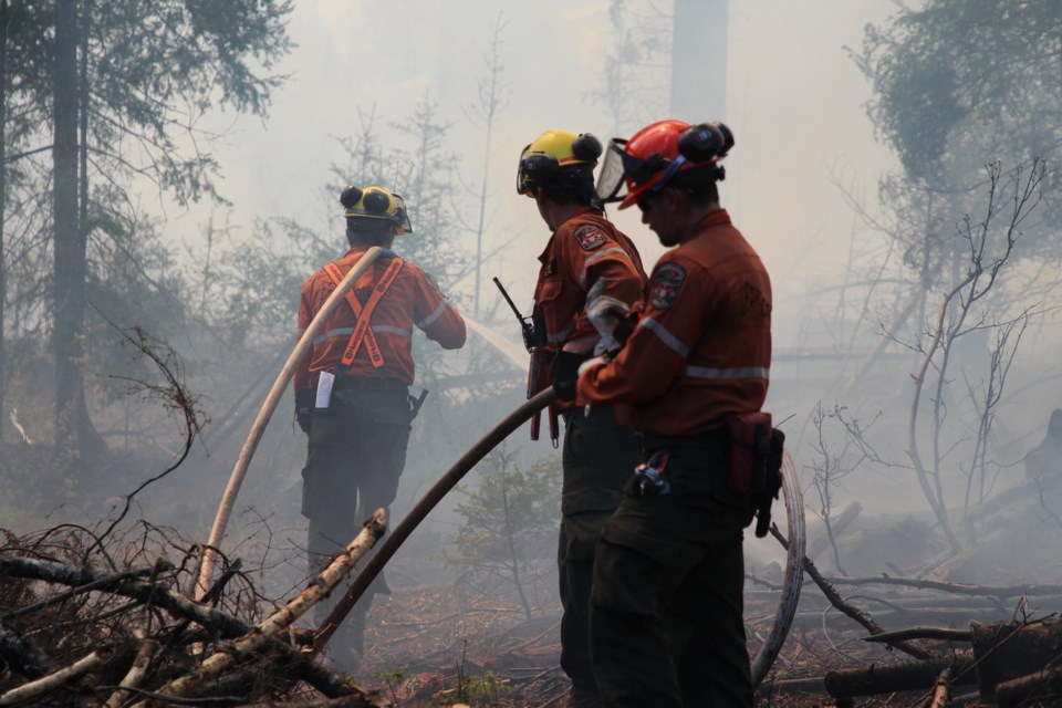
There were two new wildland fires confirmed in the Northeast Region by early evening on Tuesday, Aug. 20. At the time of this update, there are 29 active wildland fires in the Northeast Region: three are not under control, three are being held, one is under control and 22 are being observed.
- Chapleau 9 (CHA009) is a two-hectare wildland fire that is not yet under control. This fire is located approximately 61 km northwest of Timmins on the west side of Groundhog River Waterway.
- Sudbury 27 (SUD027) is a 0.3-hectare wildland fire that is not yet under control. This fire is located on Little Trout Lake, approximately 14 km south-southeast of Whitefish.
Fire of note:
- Kirkland Lake 5 (KLK005) is located approximately five kilometres north of Stull Lake, five kilometres southeast of McKee Lake, and approximately 80 kilometres west of Latchford. This fire is 889 hectares in size and is not under control at the time of this update. FireRanger crews and helicopters with bucketing capabilities continue to work on this fire. Updated fire perimeter can be consulted on the province’s interactive map.
The fire hazard varies from moderate to high for the central and northern areas of the Northeast Region. There are areas of low fire hazard east of Chapleau and for the northwestern portion of The Shoals Provincial Park. The fire hazard is also low for areas east of and along the Highway 11 corridor.
For current wildland fire danger values check the interactive map.
No Drone Zone: Be safe, stay clear of forest fires
Flying drones around forest fires is both dangerous and illegal. When you fly a drone near a forest fire, you can put the lives of pilots, firefighters and other emergency personnel at risk. Be safe, stay clear of forest fires.
Help fight forest fires: Stay clear of waterbombers
When waterbombers approach a body of water, move close to the shore so they can perform their scoop safely. A waterbomber will not scoop from a lake or river if encroaching watercraft pose a safety hazard. Be safe, stay clear of waterbombers.
Report a Wildland Fire
To report a wildland fire located north of the French and Mattawa rivers, please dial 310-FIRE. To report a wildland fire located south of the French or Mattawa Rivers, please dial 9-1-1.
For tips on preventing wildland fires and information on the current fire situation, follow us on Facebook, Instagram and X (formerly Twitter) in English and French: @ONforestfires and @ONfeudeforet. For more information about the current wildland fire situation, visit www.ontario.ca/forestfire.